Hurricane Karina (2026)
- August 2026
- Category 4 peak
- PROVISIONAL
Karina came within 1029 km of Hawaii, passing to the east as a tropical storm on 7 September 2026. It had peaked far out at sea at 125 kt and was weakening as it neared the islands. Across 42 official forecasts the nearest approach ever predicted was 415 km from Molokai.
Replay the forecasts, advisory by advisory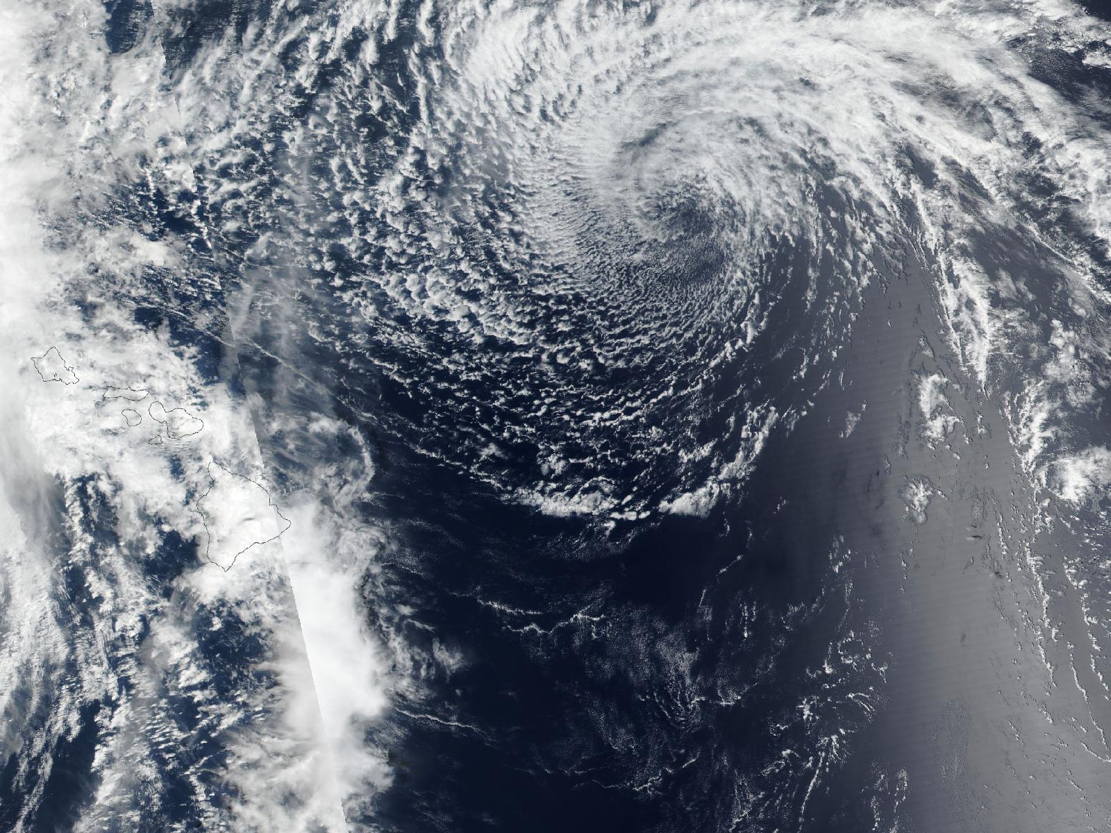
- Peak intensity
- 125 kt (144 mph) Category 4
- Lowest pressure
- 940 mb
- Closest pass so far
- 1,029 km (639 mi) from Hawaii
- When
- 7 September 2026
- Distance from Honolulu
- 1,266 km (786 mi)
- Lifetime
- 13 days 25 August 2026 – 7 September 2026
- Official forecasts
- 42
- Approached from the
- east
The pass so far
At its closest pass so far, Karina was 1,029 km (639 mi) from Hawaii with 40 kt (46 mph) winds. The closest official forecast so far brings its centre within 415 km (258 mi) of Molokai. These numbers move with every advisory.
The forecasts
The archive holds 42 official forecast packages for Karina, issued between 27 August 2026 and 7 September 2026. The replay shows each one as it stood at the moment it was issued — not the track we know now.
| Lead time | Mean track error |
|---|---|
| 24 h | 22 nm |
| 48 h | 24 nm |
| 72 h | 46 nm |
In the news
- Hurricane Polo Makes Landfall in Baja California Sur as Category 2cedarnews.net · 29 September 2026
- Karina strengthens into Category 4 hurricane in Pacific OceanKHOU · 20 September 2026
Headlines collected while the storm is in progress; they link to their publishers, not to this archive.